The landscape of Lumphanan breathes history.
It is named after St Finan, a seventh century celtic saint. It straddled the ancient route
between Fife and the Pictlands to the North. A footpath from Kincardine O'Neil follows this
route. King Macbeth was killed nearby by rivals from the South.
In the 12th century, a castle was built to control the flow of traffic,
its remains can be seen in the Peel Ring". The modern route crosses what was formerly a loch,
with flocks of geese still returning each year. To add to the tragedy of the assassination of
Macbeth, about 12 local women were put to death as witches in 1597.
The church of St Finan grew up around the castle.
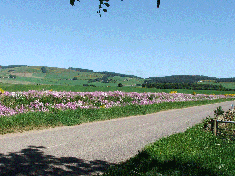 Sweet rocket grows where the banks of Lumphanan Loch once stood.
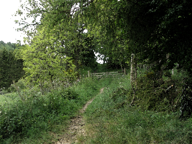 An old military road, now no more than a pathway, heads north out of the village.
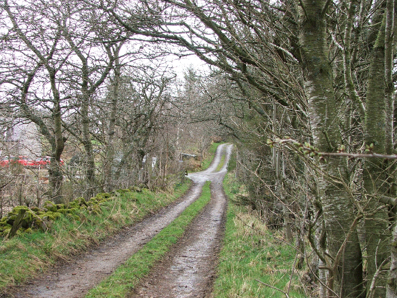 The original North South Road kept to high ground before the Loch was drained.
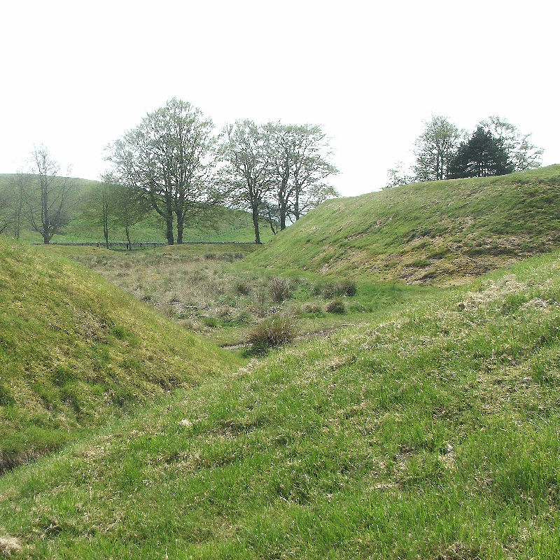 The Peel Ring, Lumphanan, with its surrounding moat, on which a castle once stood.
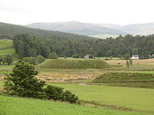 The remains of the next stopover at Invernochty. Originally this would have been a twenty mile march away from Lumphanan.
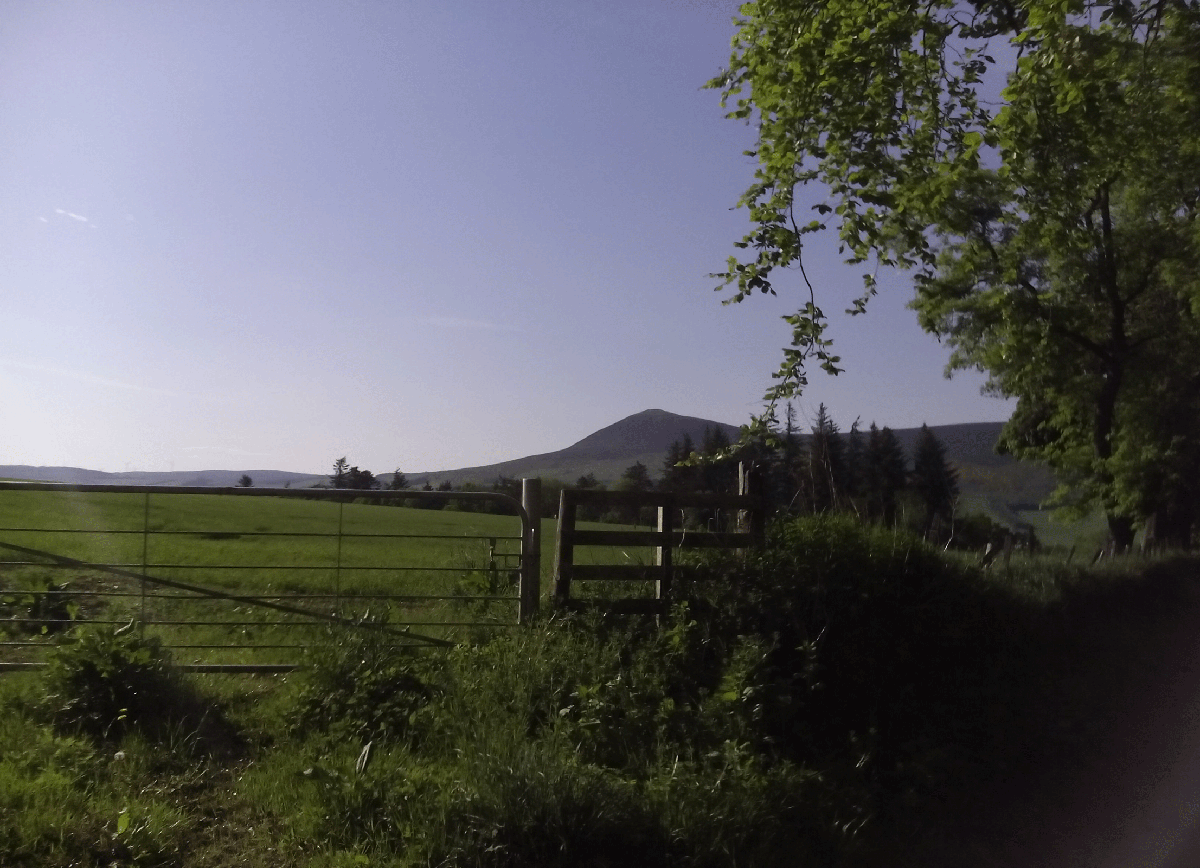 A Pictish fort stands on The Tap O'Noth which dominates the skyline.
 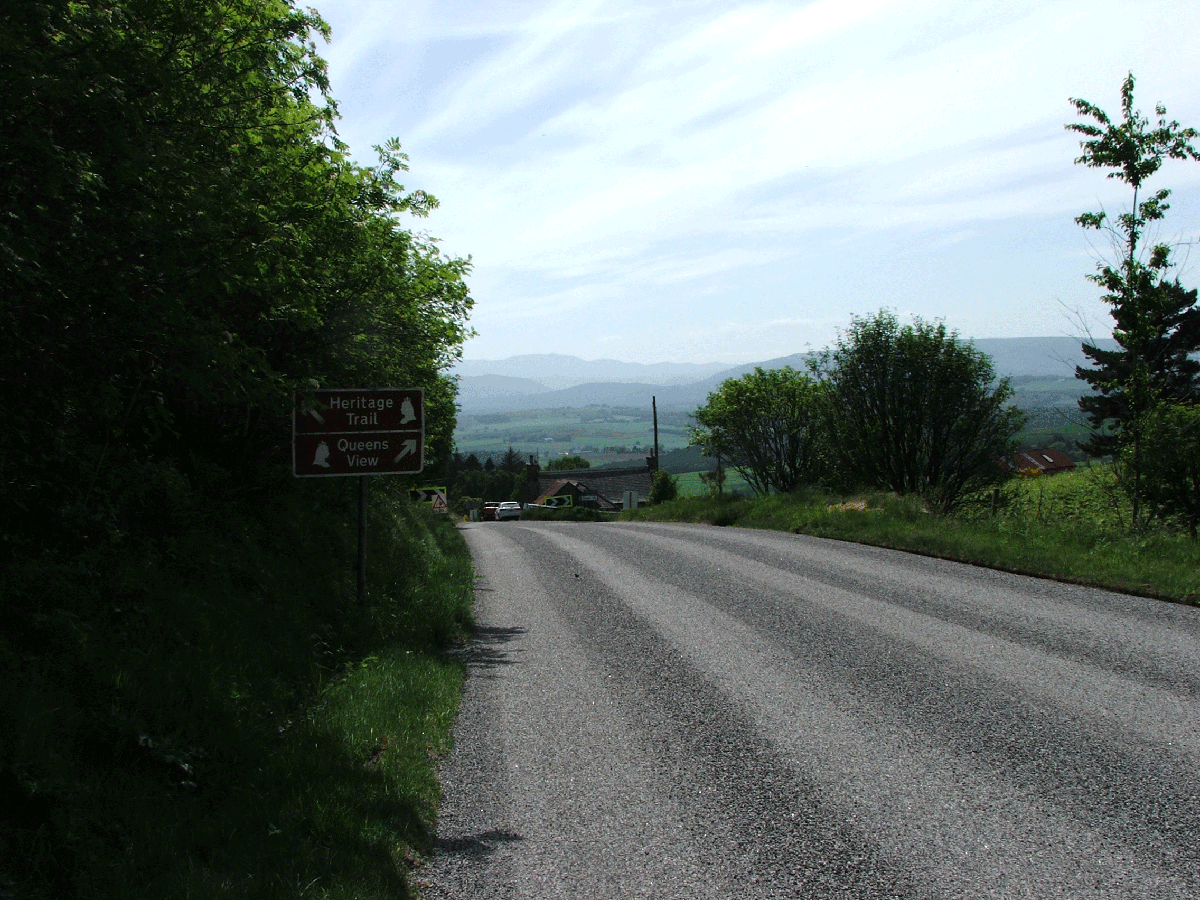 A view fit for a Queen; only another 25 Miles To Balmoral
 Approaching the valley, the view opens out.
 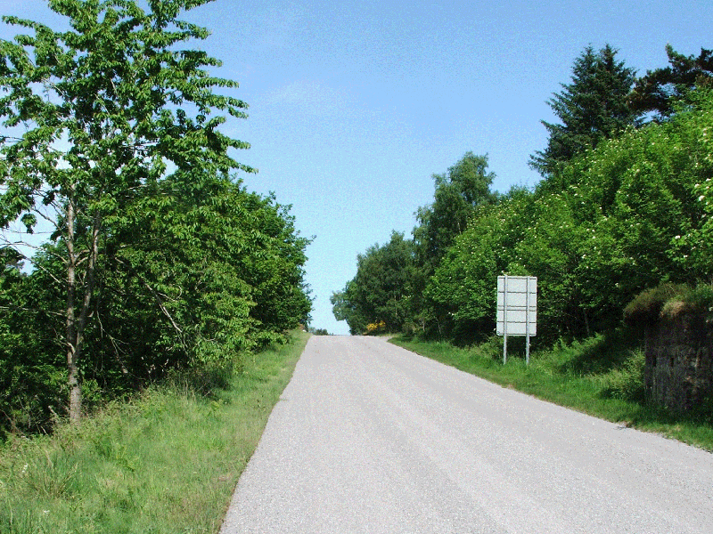 A peek in the rear view mirror
 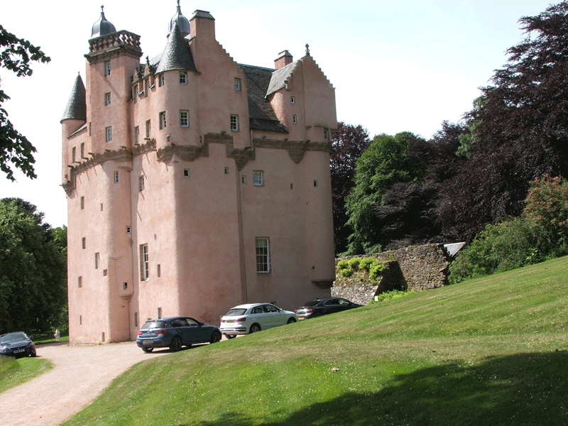 Craigievar Castle is looked after by the National Trust for Scotland. It was built at the end of the sixteenth century as a "tower house".
It stands in beautiful grounds.
Craigievar Castle is looked after by the National Trust for Scotland. It was built at the end of the sixteenth century as a "tower house".
It stands in beautiful grounds.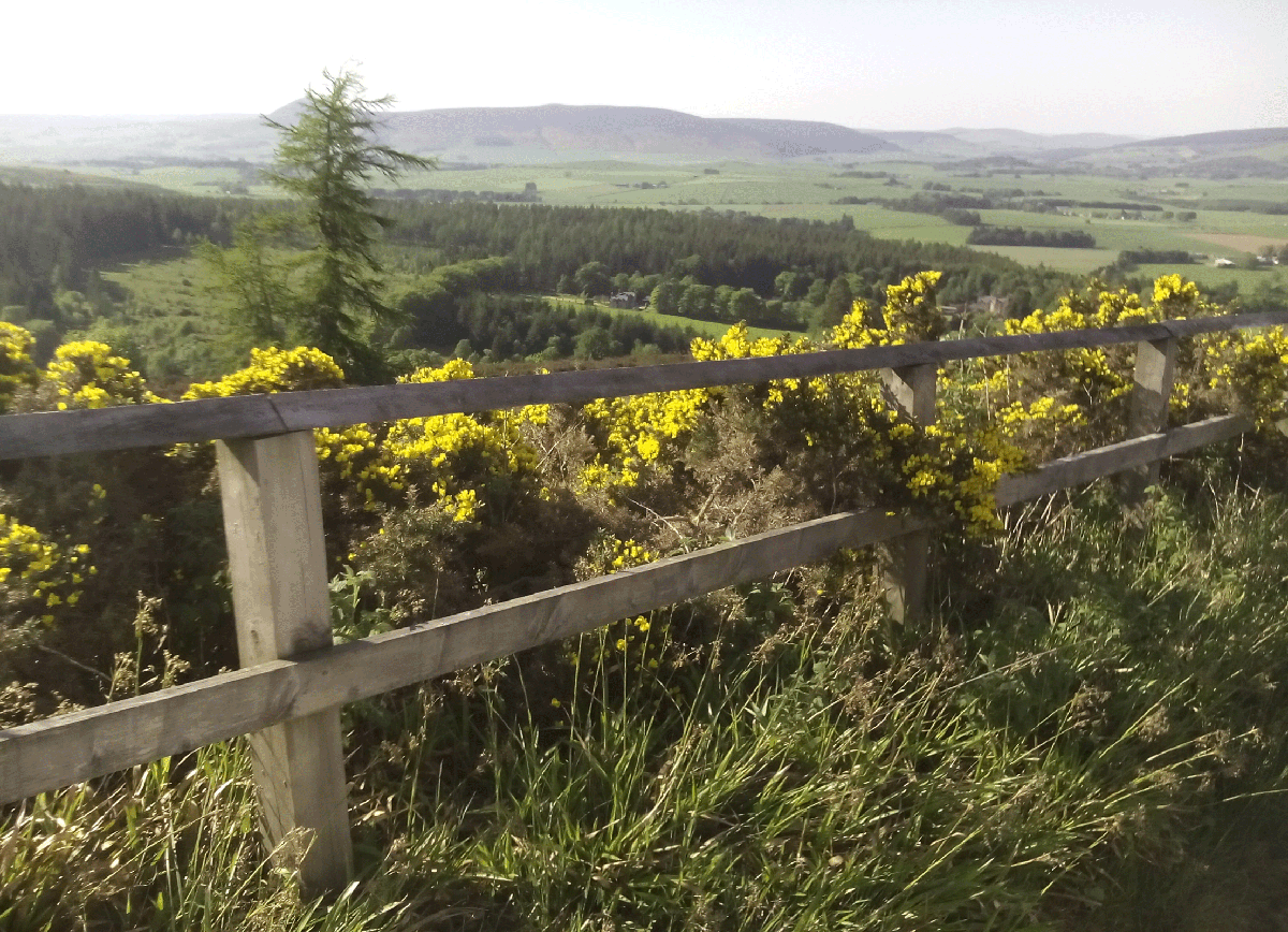 There are viewpoints as the road begins its descent.
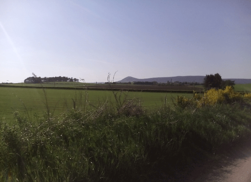 The Tap O'Noth is surmounted by a massive hill fort. There are good footpaths up to the top, and the views are certainly worth it. I heard a cuckoo singing in the valley below.
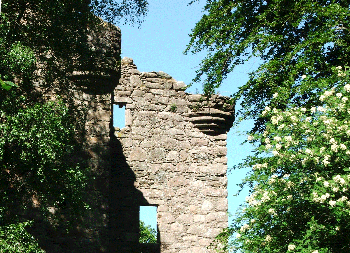 Like Craigievar, this was also built by a Forbes, the tower house at Corse did not enjoy the same views as Craigievar, and remains only as a romantic ruin.
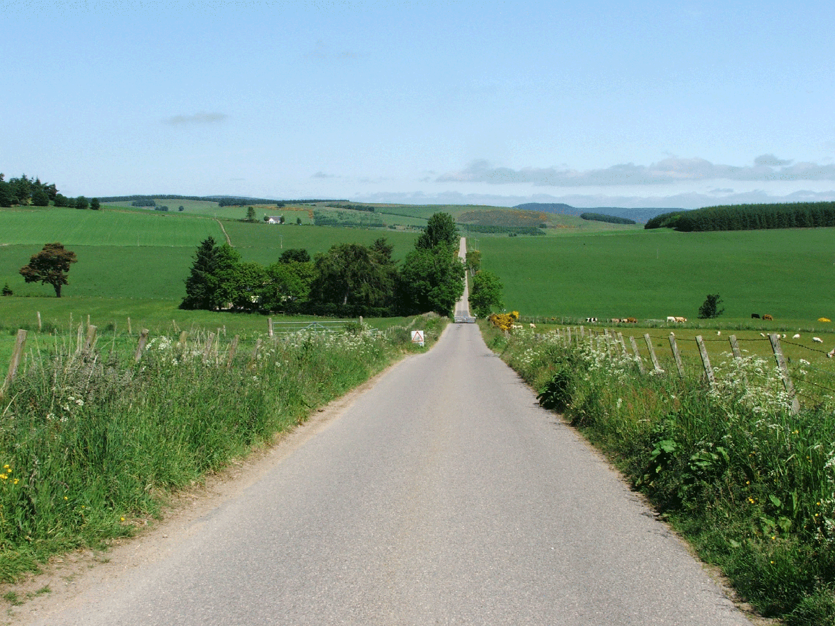 This road runs dead straight for several miles. It may follow the route of the old military road from Fettercairn to Huntly.
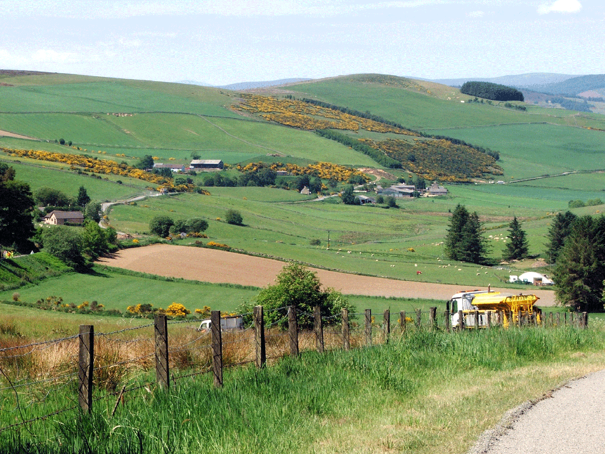 Some of the finest views are where we cross the watershed, with Donside to the North and Deeside to the South.