Lumphanan is enfolded by the foothills of the Grampians. These form a bowl of hills that surround the village. The land can be seen to best
effect from the top of Craiglich to the north-west. The photographs illustrate both the area around Lumphanan and the views to the North where Lochs Davan and Kinord
catch the late afternoon light.
Guides to some of the local walks are available at a nominal price from the Meet Again Tea Shop.
Guides to some of the local walks are available at a nominal price from the Meet Again Tea Shop.
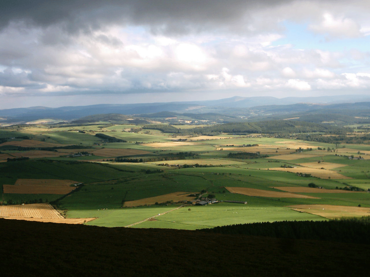 Once the low lying lands in Lumphanan were the bottom of a shallow loch, now they are rich farmland.
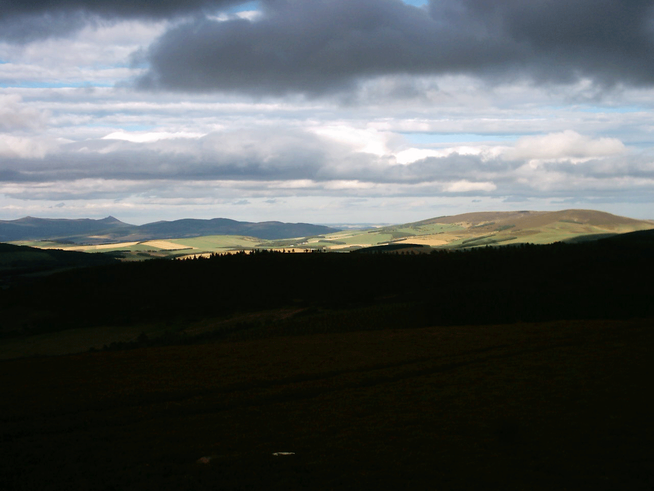 The ridge of Bennachie can be seen on the skyline to the left, with the "Mither Tap" (literally "Mother Top") just visible.
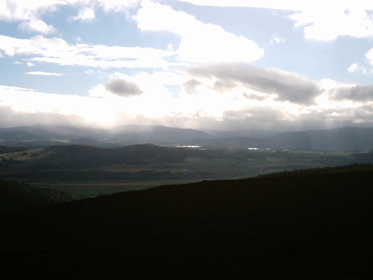 Lochs Davan and Kinord catch the light, while behind them lie Ballater, Braemar and the heart of the Grampians.
 The old military road.
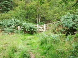 The kissing gate.
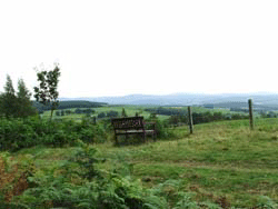 A place to rest.
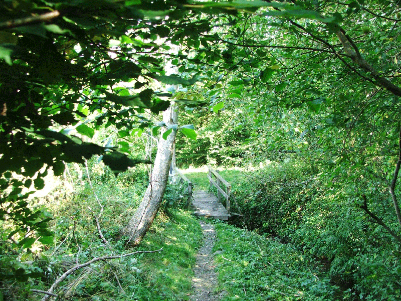 This walk joins Lovers' Lane after crossing the bridge shown above.
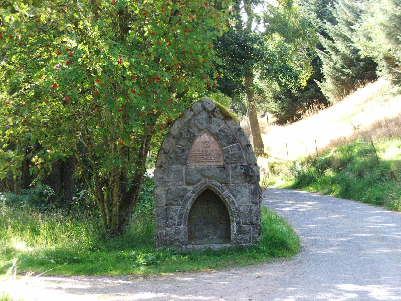 A kind victorian funded this horse trough to refresh cart-horses as they crested the hill into Lumphanan.
Not long after it was built, horses were being replaced by motorised vehicles
A kind victorian funded this horse trough to refresh cart-horses as they crested the hill into Lumphanan.
Not long after it was built, horses were being replaced by motorised vehicles
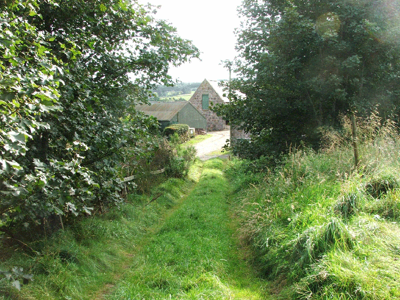 Off the Beaten Track.